
Drone Mapping Services
Drones are rapidly expanding and revolutionizing many industries. This is because of their ability to drive efficiency and data analytics, especially in photogrammetry, 3D modeling, and mapping. SkyCam Imagery offers photogrammetry, drone mapping, and 2D/3D modeling services. See below for some examples.
3D Orthomosaic Models
Below is a 3D orthomosaic map of a 49.1-acre beanfield. (198,700.7 square meters)
3D orthomosaic model of a 49.1-acre bean field by SkyCam Imagery. Mousewheel to zoom; Hold left mouse button to rotate; Hold right mouse button to move the model.
2D Orthomosaic Maps
SkyCam Imagery maps are highly accurate and offer weekly updates, which you cannot get anywhere else. Below is an example of a 2D map of the same field overlayed on top of google maps. Notice that our maps have much greater detail. Double-click on the map below to see a larger image.

Examining even closer reveals the greater level of detail we can offer.

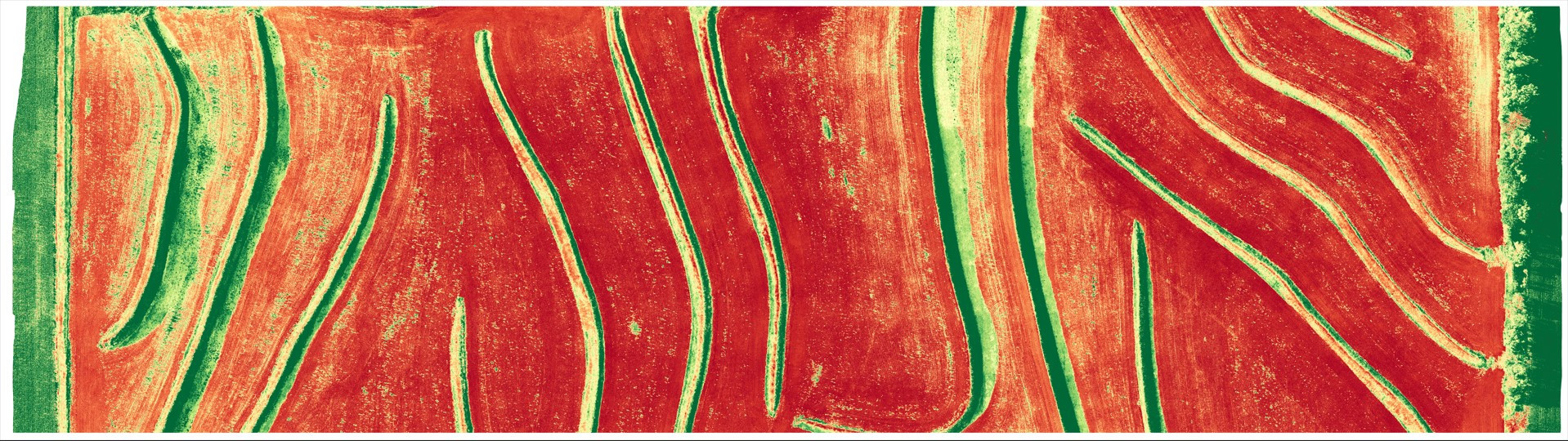
PLant Health NDVI Maps
SkyCam Imagery can also produce NDVI (Natural Difference Vegetation Index) maps using the VARI Algorithm, as seen below. NDVI maps are essential for agriculture, giving the ability to analyze crops with vegetation indices, implement treatment plans, and optimize yields. Additionally agriculture drone services help identify water ways, water damaged crops, and crops that are not getting enough water.
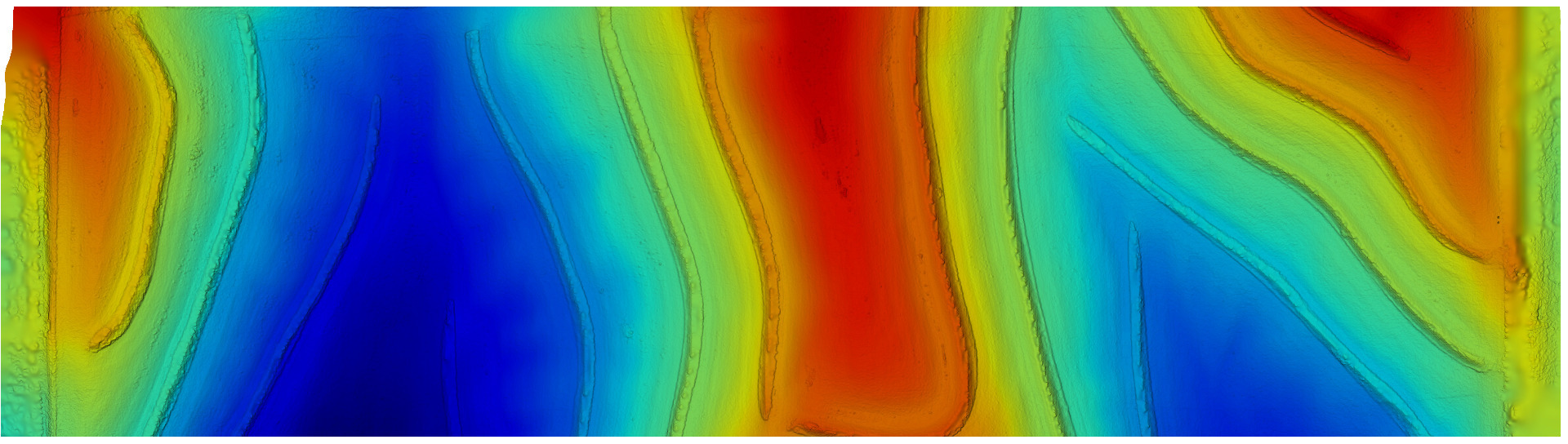
Elevation Maps
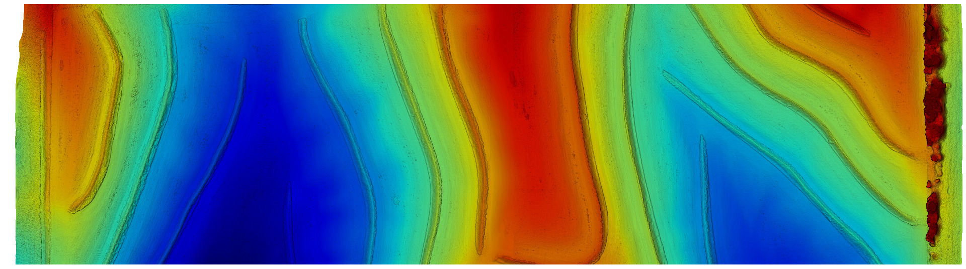
Digital Terrain Maps
SkyCam Imagery Offers:
PDF Maps • JPG Maps • GeoTIFF Maps • Point Cloud Maps • Elevation Maps • Digital Terrain Models • 2D Orthomosaic Maps • 3D Orthomosaic Models • Plant Health Maps
Each of these maps supports various file types. Contact SkyCam Imagery for more information.

Phone:
402-213-0760
E-mail:
107pilot@skycamimagery.com