
Construction Drone services
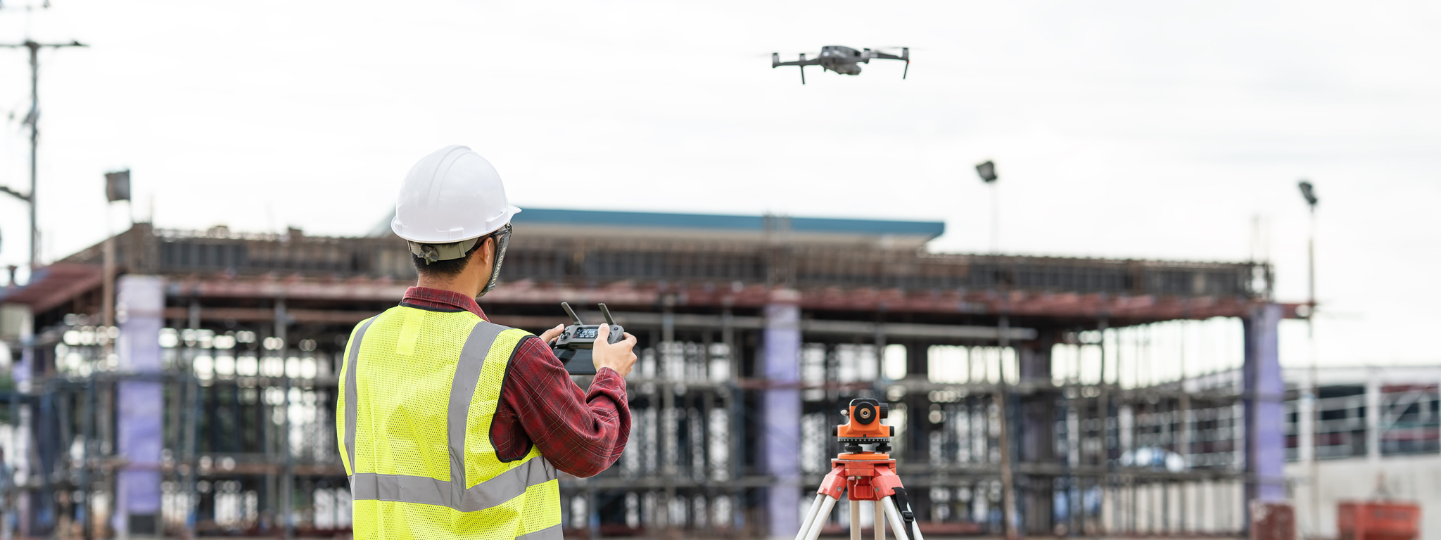
Job Site Drone Services
SkyCam Imagery can offer many services to your construction company. We can supply high-resolution video up to 5k for aerial inspections. Why send your superintendents to high buildings to inspect when you can eliminate the risk and free their time to accomplish another task? Our services include cinematic high-resolution aerial footage of the results of the job that can be presented to a client or used for advertising. Google Maps does not show weekly updated top-down views. We can provide mapping services that can be updated weekly to show job progress with highly accurate to-scale detailed maps that are much higher quality than Google Maps. This allows you and your team to collaborate online without leaving the office. We also produce high-resolution photos which can be used on your website or flyers. Drone construction photography and drone construction videography are effective marketing tools. Contact SkyCam Imagery today for a quote!
Construction Drone Photography
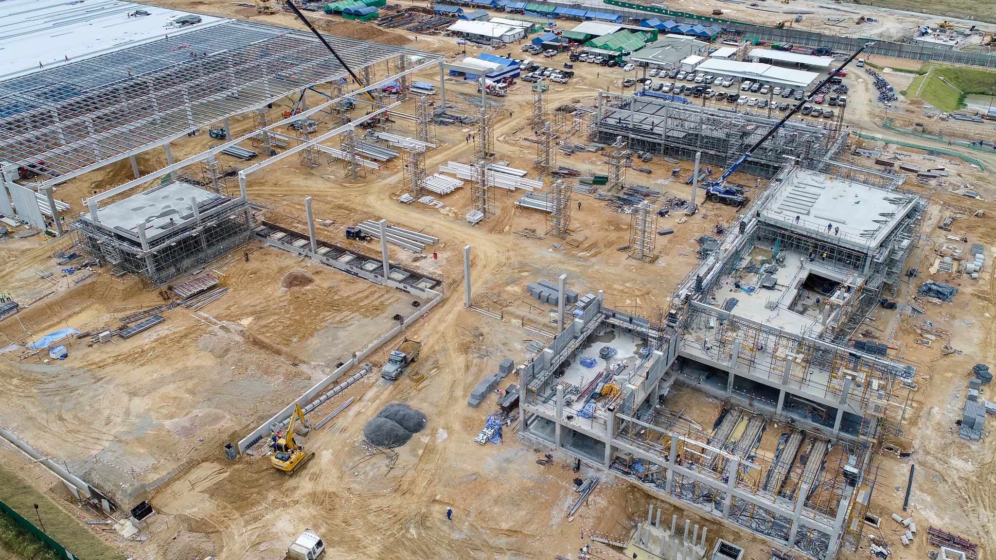
SkyCam Imagery offers drone photography services for large construction and small job sites. If your company likes to capture pictures of your jobs for home shows, the company's website, the company's social media, or just before and after pictures, then we have a lot to offer your company. Taking a photo is one thing, taking an aerial photo makes every look more amazing, and on a more grand scale. With our drone construction photography services, we can provide aerial photography of any site. SkyCam Imagery offers both residential construction photography and commercial construction photography. Our packages include free editing and color grading so every picture looks phenomenal, and an option to add your company's branding. We can provide before and after aerial photos from the same spot and angle using GPS. Aerial photography used to be expensive, and unattainable for a small company on a tight budget, and on some job sites, it was just not possible. With a drone, we can get into small places, and take photos just about anywhere. SkyCam Imagery's drone photographer is FAA Certified, and insured. Not only is aerial photography attainable, but it is almost a necessity for marketing materials and to be able to stand out of the crowd.
Construction Drone Videography
SkyCam Imagery also offers construction aerial videography. The drones used are capable of shooting in 1080p, 2K, 4K, and 5K. Just like our photography packages, our videography packages include video editing, and an option to add your company's branding. Our pricing covers both residential construction drone videography, and commercial construction drone videography. Your job site will be flown by a professional FAA-certified drone pilot. The examples below are in 1080.
Drone Inspections
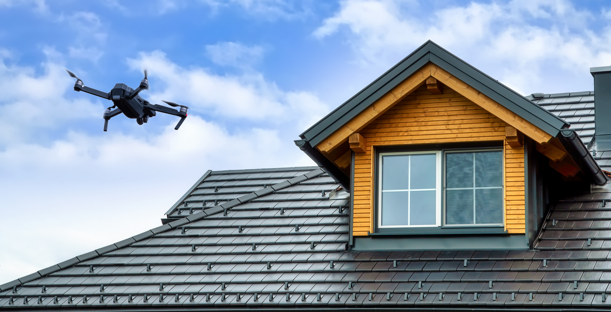
Using a drone for inspections can set you apart from the competition, and give you eyes on inaccessible roofs. For example, you never want to walk on a clay tile roof, or a roof that is too steep. Why risk your safety, when you can bring in a drone pilot who will give you eyes in the sky? From a marketing standpoint, drones are almost a necessity. Drones can also be used to show off that amazing standing seam roof that you just installed. The result would be a cinematic video that looks like you hired a movie crew. These videos can be shown at home shows, to customers, and even used for bids.
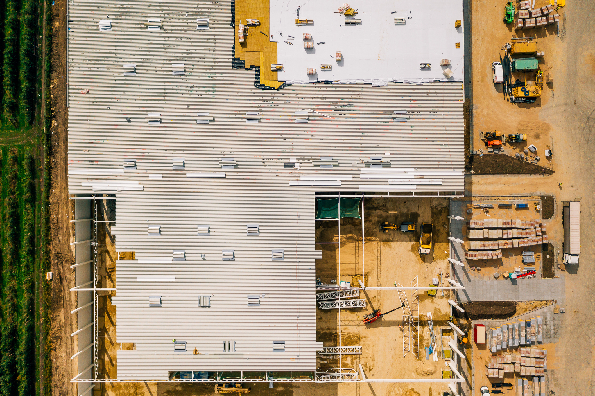
Drone Mapping Services
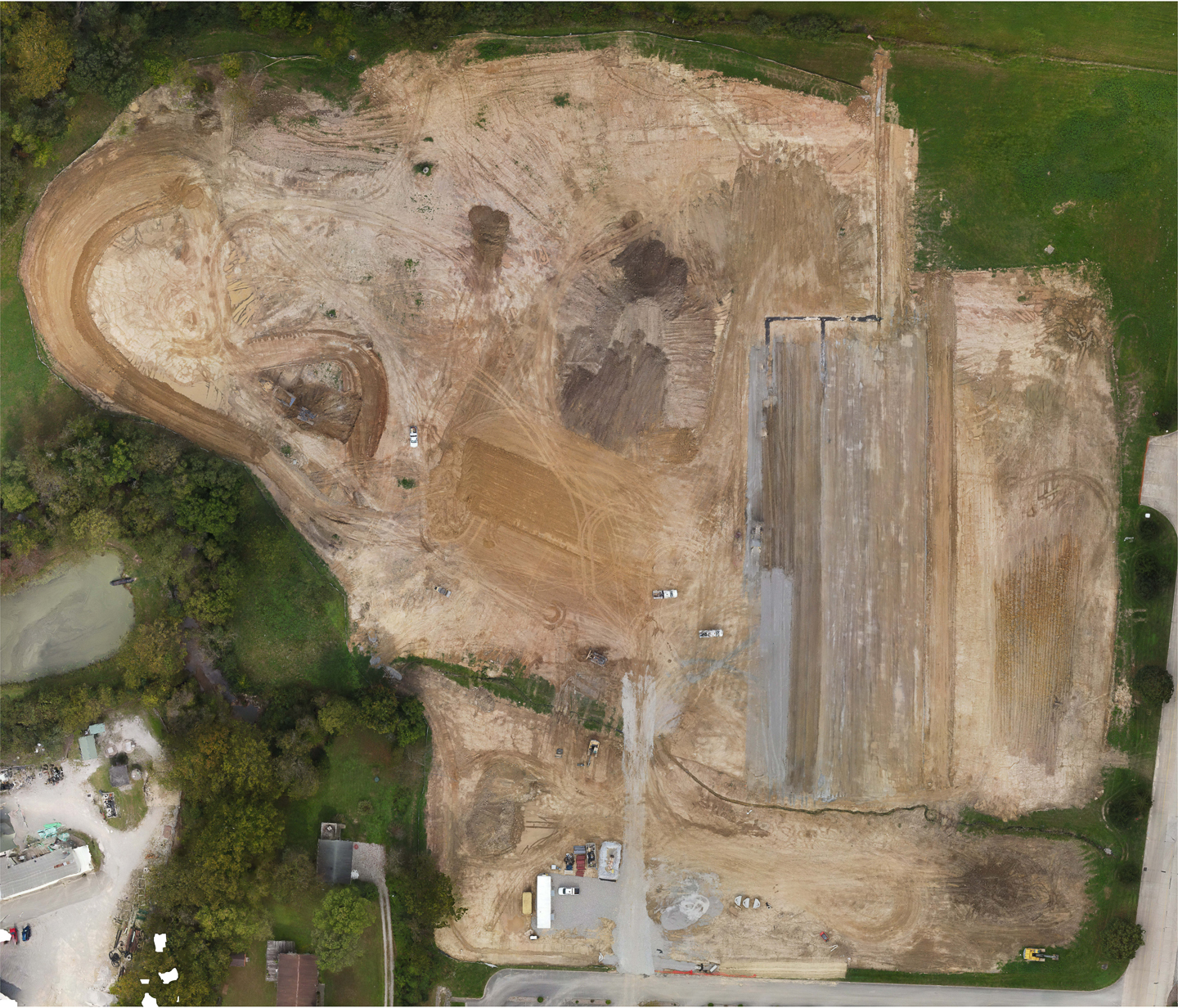
Drone mapping is kind of like an aerial survey. Using photogrammetry, a drone can fly over a property, or building, and take photos that contain data which then can be stitched together into one large map of the entire property. Measurement data, elevation data, and plant health data are just some examples of data that can be taken from an orthomosaic map. Drone orthomosaic maps are to scale and highly accurate. Not only can data be exported, but a single large image of an entire property can be produced by a drone map. Drone mapping can also produce detailed 3D models of a structure which also retains measurement and volume data. Drone maps are great for construction, and event planning, and are often used to collaborate online with investors, and other colleagues. Usually, drone maps are to scale and very accurate as far as measurements within the map, but it's location in the world can be off as much as 6 to 8 ft. This is where drones with an RTK unit or a PPK unit come into play.
• Inspection Videos
• Elevation Maps
• Digital Terrain Maps
• 2d Orthomosaic Maps
• 3d Orthomosaic Maps
Read more about SkyCam Imagery mapping services here.
Why Choose An FAA Certified Pilot?
Why would you choose an FAA Certified Pilot that costs more over someone with a drone that costs less? Because a Certified Pilot is more invested and understands FAA Regulations. Most Certified Pilots have honed their skills and possess high-end equipment. There's the saying; you get what you pay for. Another reason you should use a certified pilot is that it is illegal to use someone who is not certified. Then there is also the issue of hefty fines and the possibility of even jail time. Flight of a drone by someone who has not obtained their Remote Pilot Certificate is an unauthorized commercial use of an aircraft. Using a drone by an unlicensed pilot can cause issues with the insurance procured for the job. The FAA can levy significant fines on the contractor and the pilot. Be safe; go with a professional. Check out FAA.gov for information.

Phone:
402-213-0760
E-mail:
107pilot@skycamimagery.com